Chico River
Chico River
In the heart of northern Luzon, the Chico River connects steep gorges, Kalinga villages and Class IV rapids: an off-the-beaten-path itinerary through the Cordillera.
The Chico River invites you to explore northern Luzon from a natural and cultural perspective. Following its course, you'll discover villages nestled along the waterway, mountains cultivated in terraces, and forests lining its banks. Discovery awaits.
Discovering the Chico River
Known as Río Chico de Cagayán in Spanish, the Chico River flows through the northern part of Luzon Island in the Philippines. It stretches for 233 kilometers and connects the Cordillera regions and the Cagayan Valley. As the longest tributary of the Cagayan River, it holds a central place in the country's river network.
It flows through the provinces of Mountain Province, Kalinga, and Cagayan and represents the most extensive waterway in the Cordillera region. The Kalinga communities living along its banks consider it a true "river of life," as its role profoundly influences agriculture, livelihoods, and the daily organization of villages.
It also marks the social and political history of the Philippines. Conceived for electricity production, the Chico Dam project sparked local opposition for nearly three decades. The affected populations defended their ancestral lands until the project's definitive abandonment in the 1980s. This episode remains today a major reference point in debates over ancestral land rights in the Philippines.
The Geography of the Chico River
The Chico River originates on the slopes of Mount Data and flows northeast, toward the Pacific, before joining the Cagayan River, the largest river in the Philippines. Its elevated position limits flood risks compared to the Cagayan, known for its more frequent flooding.
For centuries, it has provided the water necessary for irrigation, washing, and the herding of water buffalo, which locals drive daily to its banks. When it separates villages on opposite shores, it sometimes becomes an obstacle. Until the last century, this situation encouraged the emergence of ferrying services. Today, these have been replaced by vehicle-accessible bridges.
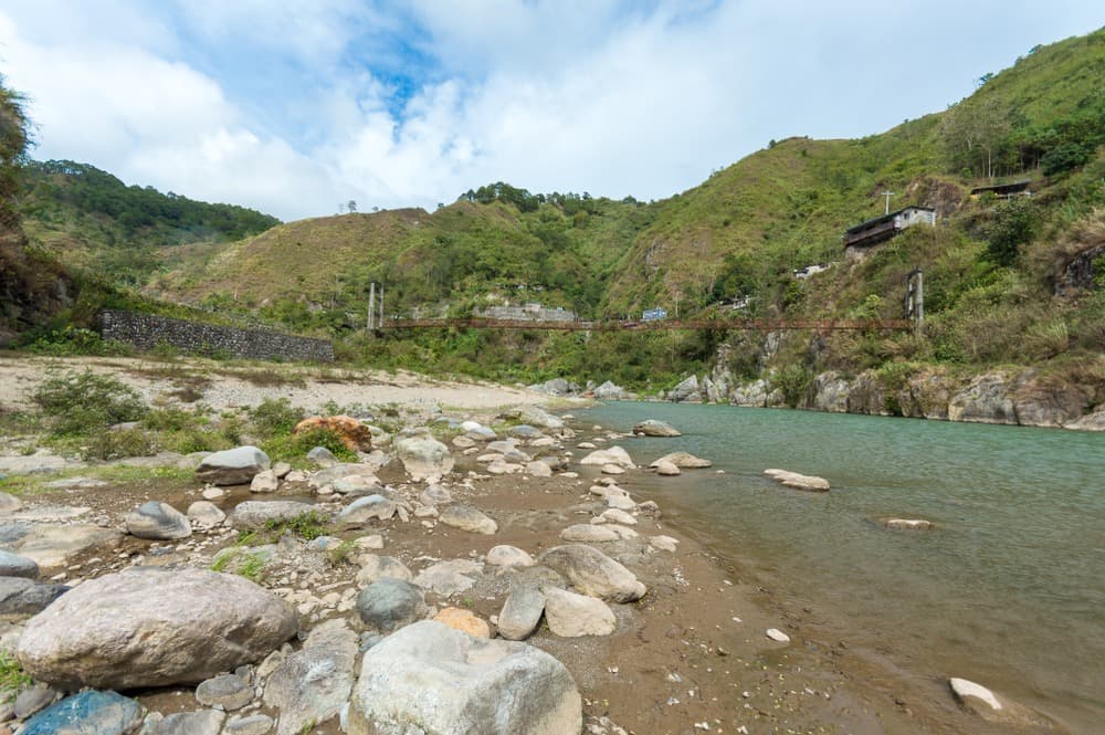
Its characteristics change markedly along its course. In Mountain Province, it remains narrow and flows through steep-walled gorges with abrupt rocky faces. As it enters Kalinga Province, its bed widens and the gorges give way to vast mountains and dense tropical forest. The upper and middle sections concentrate the most demanding rapids, with numerous Class III passages and several Class IV rapids.
As it approaches the Cagayan River, the landscape shifts gradually. Mountains fade and wide plains stretch out. This lower section of the river offers a broader, calmer course while still retaining several Class III rapids. Throughout its journey, the Chico River nourishes the fauna, flora, and local populations. The mountains support terraced vegetable cultivation, locals practice fishing, and forests thrive in immediate proximity to the banks.
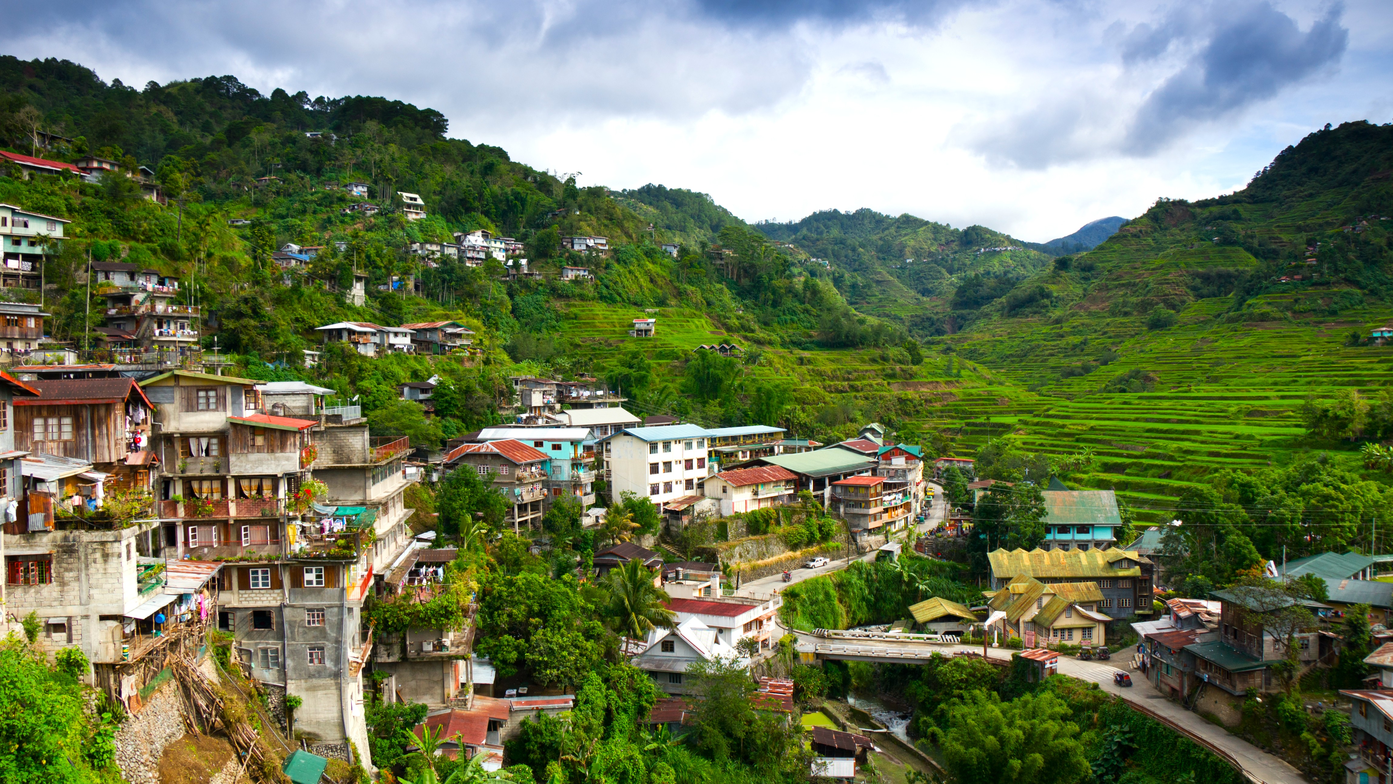
The river ultimately flows through provinces among the most remote and least-known areas of the Cordillera. These territories feature landscapes comparable to those of Banaue, in Ifugao Province, while receiving fewer visitors. Following the Chico River grants you access to isolated villages like Maligcong, renowned for its terraced rice fields, Buscalan with its traditional tattoo artists, and Tulgao, appreciated for its waterfall and natural hot spring.
Want to discover this destination?
Our local advisors design your tailor-made trip.