Cordillera Administrative Region
At the heart of Luzon, the Cordillera unites UNESCO-listed rice terraces, caves with suspended coffins, and Igorot communities with millennia-old traditions — a journey into the highlands of the Philippines.
The Cordillera Administrative Region (CAR) occupies the mountainous heart of Luzon, in the north of the Philippines. Home to Igorot indigenous communities for millennia, it concentrates UNESCO-listed terraced rice paddies, living traditions, and high-altitude landscapes that starkly contrast with the country's coastal plains.
Practical information at a glance
- Access: from Manila, overnight buses to Baguio (approx. 6 hours) or to Bontoc/Sagada (12-14 hours); domestic flights to Baguio available seasonally.
- Best time: November to April (dry season) — roads passable, clear skies over the terraces.
- Recommended duration: 5 to 10 days to cover Baguio, Banaue, Batad, and Sagada.
- Clothing: warm clothing essential at altitude (Baguio: 1,400 m, Sagada: 1,500 m); cool nighttime temperatures year-round.
- Permits: some ancestral villages (Batad, Bangaan) require a local permit or community guide — inquire upon arrival.
What to see
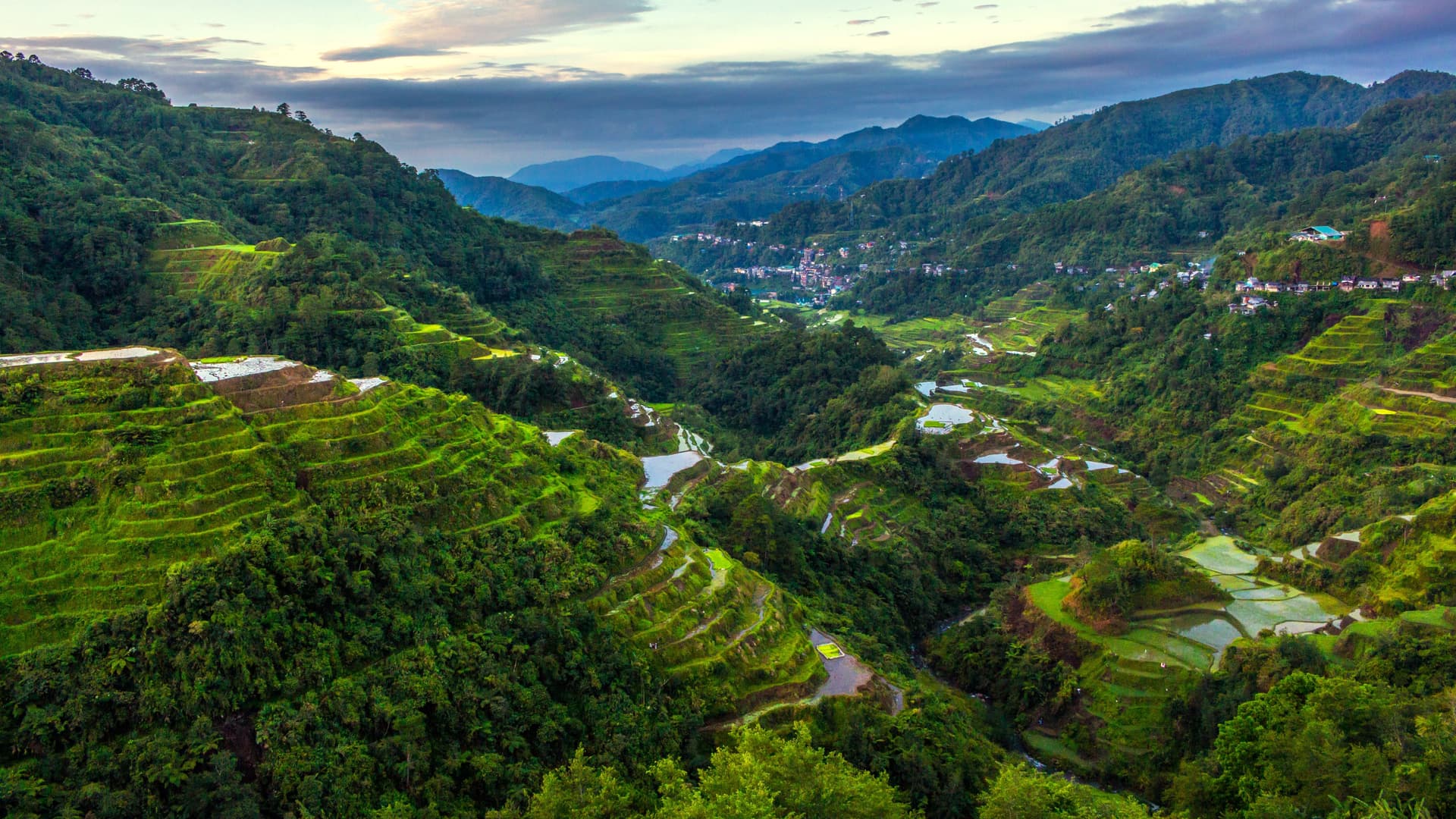
The region divides into several provinces with distinct characters. Ifugao is home to the Banaue terraces and the hamlet of Batad, an amphitheater of rice paddies carved into the mountain. Mountain Province offers Sagada, known for its hanging coffin caves and pine forest hikes. Benguet surrounds Baguio, a garden city and cultural hub of the region. Kalinga and Apayao remain wilder, with Kalinga villages renowned for their traditional tattoos.
History and context
The Igorot peoples — a generic term encompassing Ifugao, Kankanaey, Bontoc, Kalinga, and other groups — resisted Spanish colonization through their mountain isolation. The rice terraces of Ifugao, carved more than 2,000 years ago by some estimates, bear witness to remarkable hydraulic engineering. Inscribed as a UNESCO World Heritage site in 1995, they remain cultivated using ancestral methods. The region achieved autonomous administrative status in 1987, recognizing the cultural distinctiveness of its inhabitants.
Highlights of your visit
Banaue terraces and Batad hamlet
The Banaue viewpoint offers an overview of the tiered terraces. Batad, accessible on foot from the main road, is a cirque of active rice paddies surrounding a car-free village. Tappiyah waterfall can be reached from Batad in 30-40 minutes of walking.
Sagada: caves and hanging coffins
Sumaguing cave is the largest in the region, accessible with a local guide. The hanging coffins on the Echo Valley cliff illustrate a Kankanaey funeral practice still observed. The sunset from Kiltepan Ridge, above a sea of clouds, is one of the most photographed spectacles in the Philippines.
Baguio, cultural gateway
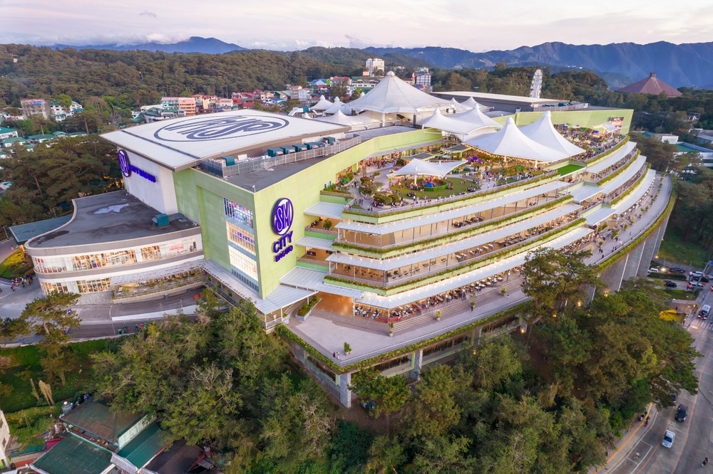
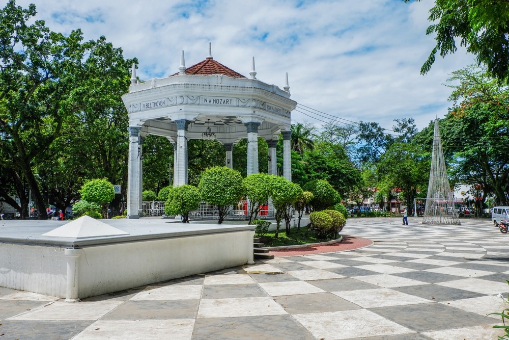
The city houses the Baguio Museum, the Session Road artisan market, and Burnham Park. Maharlika Market sells mountain vegetables, Benguet coffee, and hand-woven Igorot textiles.
Kalinga and traditional tattoos
The village of Buscalan, in Kalinga province, is home to Whang-Od, the eldest of traditional Kalinga tattoo practitioners. Access requires a full day of travel and walking from Tabuk; a local guide is highly recommended.
Etiquette and visiting rules
- In ancestral villages, always ask permission before photographing residents or ceremonies.
- Some terraced areas are privately owned — stay on marked trails to avoid damaging the stone walls.
- Igorot rituals (cañao) are private community events; attend only if invited.
- Hiring a local guide is often mandatory and always helpful — it directly supports the community economy.
Photography tips
Golden morning light (6 a.m.–8 a.m.) reveals water reflections in the terraces during planting season. At Kiltepan (Sagada), arrive before dawn for the sea of clouds. Days with light mist soften the contrasts over Batad's rice paddies. Avoid using flash in Sumaguing caves — the guides' light is sufficient and preserves the atmosphere.
Location and access
The Cordillera occupies the north-central region of Luzon, enclosed between the Ilocos plains to the west and the Cagayan valley to the east. Baguio is the main entry point, approximately 250 km from Manila by road. From Baguio, buses and jeepneys serve Bontoc (Mountain Province) and Banaue (Ifugao). Mountain roads are winding; expect long travel times. Renting a 4×4 or van with driver eases travel between provinces.
Nearby attractions
- Banaue terraces — UNESCO-listed terraced rice paddies, symbol of the Ifugao region.
- Sagada — mountain village with caves, hanging coffins, and pine forest hikes.
- Baguio — regional capital, artisan markets, and Igorot museums.
- Batad — car-free hamlet at the heart of a terraced amphitheater.
- Vigan — UNESCO-listed Spanish colonial town, accessible from the neighboring Ilocos coast.